
Greer Neighbors by Block Sources
A Greer block can be checked through several record systems, but each system answers a narrow question. City GIS shows parcel geometry and city or county context. A county property record gives tax-card details and reference values. A Register of Deeds record confirms the recorded instrument. Historical street guides can show an old listing. None of those sources creates a complete list of people at every nearby address, so label each finding as a map value, tax record, deed, or historical listing.
| Block record source | What it reveals nearby | Access route and limit |
|---|---|---|
| City of Greer GIS | Parcels, addresses, streets, county line, city boundary, subdivisions, and map-popup reference fields. | Free reference map; not legal title or a boundary ruling. |
| Greenville GIS and Real Property | Greenville-side parcel, tax-card owner and mailing fields, plus deed references. | Use the property report, then confirm title at the ROD. |
| Spartanburg OneMap and Assessor | Spartanburg-side parcel, address, subdivision, and owner-last-name routes. | Assessment data may lag a deed; a deed controls ownership. |
| County Register of Deeds | Recorded deed, plat, legal description, and document chain for an adjacent parcel. | Search by party, book/page, or legal description; county cutoffs differ. |
| Historical Greer directories | Available street-order householder listings from a dated edition. | Library archive only, and not every year or household is represented. |
| City Planning or FOIA | Existing permit or administrative records for one address. | Use a specific request; exemptions and costs can apply. |
Recorded owners and current occupants are different questions. A property card can carry a mailing address for an owner, agent, trust, or second property. A historic directory entry can show a listed householder without proving title. Those limits are central when checking Greer neighbors.
Greer Neighbors Begin With Parcels
Use the City of Greer GIS system to orient the block before opening a county record. The Atlas accepts PIN, address, street name, subdivision, and annexation number. Turn on Parcels, Streets, City Boundary, county line, and Subdivisions, then click the focal parcel and visible adjoining polygons. The city calls the map reference-only and directs ownership or detailed boundary questions to the appropriate county office.
| PIN | Optional parcel-identifier route. |
|---|---|
| Address | Optional address-point and parcel orientation route. |
| Street Name | Optional street-segment route. |
| Subdivision | Optional context for a plat or legal description. |
| Annexation Number | Optional city-boundary context. |
The map popup may display current or previous owner references, mailing fields, parcel address, lot, acreage, plat or deed book/page, subdivision, and legal description. Treat those as leads for the right county record, not final title evidence.
On the Spartanburg side, the county's road and address search offers tabs for roads, subdivisions, addresses, and address ranges. It helps confirm the location string before moving to a parcel or deed search.
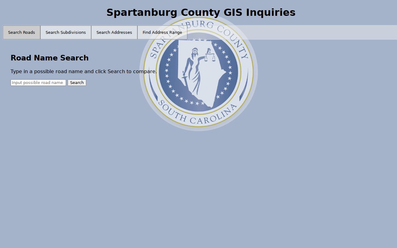
The road-search tool establishes address context, while the parcel, assessor, and deed routes supply the narrower record evidence.
Greer Block Records Cross County Lines
Greer's two-county footprint is the essential local geography for neighbors. A street can be in the city while the parcels on it route to Greenville County or Spartanburg County. The county line layer, not a Greer mailing label or postal ZIP, determines which assessor, Register of Deeds, probate court, election office, and trial-court index may hold the relevant record. On a mixed-county block, separate the parcel notes into two county groups before following links.
For Greenville-side parcels, use Greenville County GIS and its Real Property route. For Spartanburg-side parcels, start with the county's Geographic Information Systems page, which maintains digital parcels and road centerlines. This split is more accurate than a single generic property search.
Open the official Spartanburg GIS information page for the county-side mapping routes.
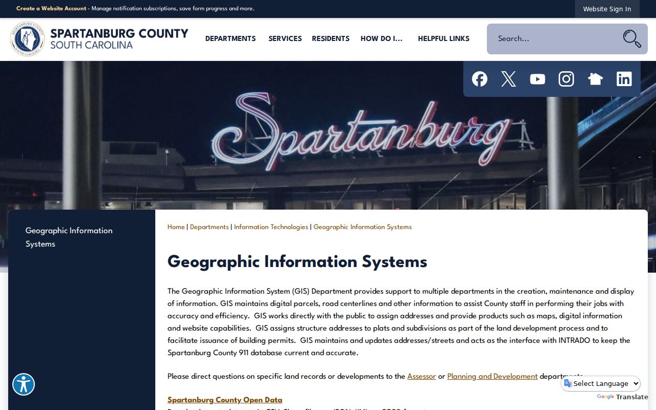
The county GIS route is useful for locating the parcel and address context before a Spartanburg assessor or deed check.
Greer Neighbor Mailing Fields
An adjacent parcel's tax card often distinguishes the owner name and mailing address from the parcel location, PIN, legal description, deed reference, and history. The distinction matters. A mailing address is where assessment correspondence goes. It can belong to an agent, trust, post-office box, another property, or an owner who does not occupy the parcel. Greenville's property report keeps the fields separate, and City GIS does the same in its popup information.
| Official record type | Reliable block use | What it does not establish |
|---|---|---|
| GIS parcel popup | Parcel location, geometry, county context, and reference fields. | Legal title or every person at the address. |
| Assessor or tax card | Tax-record owner, mailing field, PIN, and deed clue. | Whether a mailing field is the parcel occupant. |
| Recorded deed or plat | Recorded transfer and legal description. | A complete current household listing. |
| Commercial neighbor tool | A starting lead that requires source-by-source verification. | An official parcel, voter, or deed record. |
Spartanburg County expressly warns that assessment data can lag a deed or plat by months and says that a deed is the ownership record. For a title question, record the map number and legal description, then use the county Register of Deeds rather than treating an assessment result as the final answer.
Note: Label each address as situs, mailing, or recorded legal description in your notes so the three are never blended.
Map a Greer Block by Parcel
Start from one physical address and move outward one parcel at a time. The process is deliberately narrow. It records only what is needed to distinguish adjoining parcels, respects the county boundary, and preserves the difference between map data, tax data, and a recorded deed. For a full named-street chain, use the separate Greer street directory workflow rather than turning a block check into a street-wide roster.
- Search the City GIS Atlas by the focal address or PIN, then confirm the county and city-limits value in the popup.
- Turn on parcel, street, county-line, city-boundary, and subdivision layers. Click only the adjacent polygons and note the PIN, situs address, lot, and map references.
- For a Greenville parcel, open Real Property by map number and follow its deed book or page clue. For a Spartanburg parcel, use OneMap's parcel or owner-last-name path and the ROD search options.
- When the block crosses counties, stop and switch to the other county system. Do not infer the county from a ZIP.
- For a city permit timeline, use eTRAKiT Site Info, Inspections, and Chronology where available, or make a specific city FOIA request.
Use plats and legal descriptions to distinguish a nearby lot from an actual common boundary. A map edge does not prove the parcels touch, and a street address is only a locator for the more durable legal-description trail.
Historic Greer Neighbors in Street Guides
The 1963 Greer directory's green pages put householders in numerical street order and may show an ownership indicator. That makes an available edition useful for a historical block check. It is still a dated listing, not a current roster. The Hughes Main archive holds specific Greer city-directory and telephone-directory editions, so first identify the exact year that survives and read the volume's geographic scope and abbreviation key.
Compare one available edition with the next, rather than inventing annual continuity. Pair the address with a recorded deed, plat, census, or a Greer Citizen microfilm page where the date matters. The historical shelf is covered in greater depth through the Greer city-directory collections, including the edition gaps and archive access route.
Note: Treat a street-order listing as dated context, then verify its scope and any property claim with the appropriate county record.
Greer Community Directory Boundaries
No official Greer neighborhood-association umbrella directory with member rosters was verified. That is an important limit, not a blank to fill with guesses. Voluntary neighborhood, congregation, civic-club, or block-watch contacts do not establish who lives on a block. Use a published organization contact only when the organization itself makes it public, and do not turn member information into a household list.
Association roster
No official Greer umbrella roster was verified in the research sweep.
City staff directory
It supplies public work roles and office contacts, not a community-member directory.
Greater Greer Chamber
Its search is a voluntary current civic-member layer, not historical household evidence.
Museum material
Local organizations material provides historical context only after item-level date and access checks.
The Greater Greer Chamber member search has keyword, category, city, county, ZIP, and related modes, but it is a voluntary civic-member layer. It should not be used as evidence that a named person lives nearby.
Greer Neighbor Voter Access
South Carolina's MyscVOTES voter service is an authenticated confirmation tool, not an address or street browse. It requires registration-card information, including county, name, date of birth, and confidential credentials. Do not collect or reproduce those credentials. The formal state voter-list product has eligibility, permitted-filter, price, and use rules. It is not a live public map of Greer neighbors.
Voter applications are public under state law except Social Security numbers, while voter-address protection can apply with qualifying injunction or restraining-order evidence. The State Election Commission also accepts a written FOIA request for existing state-held election records through its form, email, fax, or mail channels. A request should identify a record and legal purpose, not seek to reconstruct a block roster.
Greer Neighbor Privacy Boundaries
South Carolina's Safe at Home program provides eligible participants with a designated address and keeps its application and support files confidential. State law also provides voter-address protection in qualifying cases, and newer web-display restrictions can protect certain personal-contact information for qualifying law-enforcement personnel and judges. Public map, property, voter, court, and directory fragments must never be combined to defeat those protections.
A public record may also omit household members, delivery information, or confidential material. If a recorded image exposes a protected identifier, the proper route is a redaction request to the applicable Register of Deeds or Clerk under the state procedure. A property-tax mailing field can be corrected through the assessor by the person responsible for it; it is not an invitation to alter title information.
Lawful use. Greer neighbor records support personal, civic, and property research when used carefully. Never use them to reconstruct a protected address, stalk, harass, intimidate, or harm another person.
Note: When an address is protected or a result is unclear, stop the search and contact the responsible custodian about its lawful access process.