
Greer ZIP Code Directory Coverage
The Greer ZIP code directory begins with delivery geography, not a resident roster. Greenville County GIS identifies 29650, 29651, and 29652 as Greer ZIP labels on its side of the city. The City GIS address data also records city-limit points under 29334, 29365, and 29687. Those smaller labels are edge pockets, not proof that an entire ZIP belongs to Greer. Verify a particular address with USPS, then use the parcel and county information to choose a records office.
| ZIP | Mapped Greer relationship | Postal label or status | Record-search caution |
|---|---|---|---|
| 29650 | Greer-labeled Greenville County ZIP with a major share of mapped city-limit address points | GREER | Some addresses fall outside city limits; verify the parcel county |
| 29651 | Greer-labeled ZIP with a major share of mapped city-limit address points | GREER | County routing still depends on the individual parcel |
| 29652 | Greer label in Greenville County GIS | PO BOX | Do not treat it as a street-residence ZIP |
| 29334, 29365, 29687 | Small City GIS city-limit address pockets | Nearby boundary-pocket ZIPs | Confirm an address individually; this is not a whole-ZIP claim |
City GIS recorded 10,089 current city-limit address points in 29650 and 12,167 in 29651, while the three smaller pockets held 105, 197, and 794 points respectively. These are address-point counts, not population or voter totals. The live mapping data includes malformed and outlier ZIP values, so it should not be converted into a general postal list.
Greer ZIP Delivery Is Not Jurisdiction
USPS ZIP Codes are delivery areas, not municipal boundaries. That distinction matters in Greer because the city crosses Greenville and Spartanburg Counties. A Greer mailing city or a familiar ZIP does not decide where a deed, probate matter, court file, or tax record is kept. The local map’s CityZip, InCtyLmts, and county-line information should be read together before selecting a county portal.
Greer’s historical geography explains some of the mismatch. The 2010 Comprehensive Plan describes a town that began around the depot, contracted amid the difficulty of administering a two-county town, and expanded again by about 1900 into Spartanburg County. That history explains why a postal label can feel clear while the property record requires an extra county check. It does not replace a current parcel boundary.
Note: Use a specific address and parcel map to choose a Greer custodian, never a ZIP label by itself.
Greer ZIP 29652 Is PO Box Only
Greenville County GIS marks 29652 as “GREER (PO BOX).” That is a useful local warning. A P.O. box designation identifies a delivery arrangement, not a physical street residence. It should not be turned into a block search, a parcel search, or a list of people at a street address. When a record has a P.O. box mailing label, keep it separate from the parcel’s situs address and use the parcel number, legal description, or deed reference for property research.
This distinction is especially important where a tax card displays an owner mailing address. The mailing field may belong to an owner, trust, agent, another property, or P.O. box. A recorded deed and the actual parcel location answer different questions. That separation protects the accuracy of the Greer ZIP code directory and keeps postal details from being overstated.
Greer Postal Checks Start by Address
The official USPS ZIP Lookup Tool verifies postal delivery information from an address. It is not a people search. USPS cautions that a ZIP result does not prove a person or company is at the address entered. For a Greer address, use it to confirm postal formatting first, then open City GIS to review CityZip, city-limits status, and county before searching any county record.
| By-address street field | Required. Enter the physical street address for a postal ZIP result. |
|---|---|
| Apartment, suite, or other | Optional. Add a unit when it is part of the mailing address. |
| City and state | Used on the address route; the city/state lookup requires both fields. |
| ZIP field | The Cities-by-ZIP route requires a ZIP, but it does not supply a local resident list. |
USPS ZIP Code Basics describes the delivery geography behind this verification step.
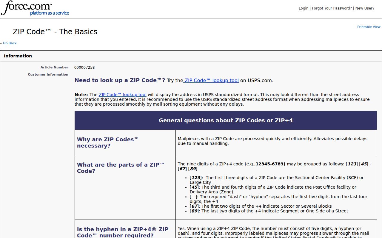
Postal confirmation is useful before a record search, but the City GIS and county parcel systems determine the Greer jurisdiction trail.
Find a Greer Address Within a ZIP
No local property, GIS, or voter interface reviewed for Greer had a verified ZIP filter that returns a local resident list. Greenville Real Property accepts name, street, map number, subdivision, and sales-sheet paths. Spartanburg OneMap documents parcel, street, address, subdivision, and owner-last-name routes. The Greer ZIP code directory therefore works from an exact address, not from a broad ZIP-wide name search.
- Confirm the exact mailing address and ZIP with the USPS tool, keeping a P.O. box separate from a physical parcel address.
- Search the City GIS by address, PIN, street name, subdivision, or annexation number. Read CityZip, InCtyLmts, and county in the popup.
- Open the county property system selected by the parcel. Record the PIN or tax map number, the parcel location, and any mailing label as separate facts.
- Use the county Register of Deeds only when a recorded transfer or legal description needs confirmation. For a street-by-street trail, use the Greer street directory after the address is narrowed.
The state voter service is not a workaround for this missing ZIP filter. MyscVOTES is an authenticated individual confirmation process that requires a voter’s own identifying credentials. The state’s formal voter-list product has eligibility, permitted filters, fees, and protected-address rules, so it is not a casual address-list tool. Its official filters include combinations of county, voting district, age, sex, race, household, participation in a particular election, and registration date. That formal product still requires a registered South Carolina voter as purchaser and must respect protected-address rules.
Greer Postal Boundaries Meet City Limits
The City GIS separates CityZip from InCtyLmts because a postal delivery area and the City of Greer limits do not follow the same line. The smaller city-limit pockets in 29334, 29365, and 29687 show the issue clearly. A record search should not assume that every address using one of those ZIPs is in Greer, nor that every city-limit address carries the dominant Greer postal label. Check the individual address before choosing a court, assessor, probate office, or Register of Deeds.
- ZIP and ZIP+4
- A ZIP identifies a delivery area. ZIP+4 adds a smaller delivery segment and does not establish property jurisdiction or who lives at an address.
- P.O. box ZIP
- A ZIP used for post-office boxes. It is a mailing designation and should not be read as a street-residence area.
- Unique ZIP
- A ZIP assigned to one large recipient or organization. No verified unique Greer ZIP was identified in the research.
- Carrier route
- A postal delivery sequence used to organize mail. It is not a county, city-limit, or property-ownership boundary.
Greer’s City GIS uses the city, Greenville County, Spartanburg County, and state GIS sources as a reference map. It states that it cannot resolve ownership questions or boundary disputes. Use its layers to orient an address, then confirm title with the county record and a boundary issue with the responsible authority.
Greer ZIP Mapping Layers
The City of Greer GIS Map System accepts PIN, Address, Street Name, Subdivision, or Annexation Number. Its layers include City Boundary, county line, subdivisions, annexations, zoning, streets, parcels, and addresses. A parcel popup can include owner-reference information, mailing address, previous owner, parcel address, lot, acreage, plat or deed book/page, district, subdivision, and legal description. Treat that popup as a reference, not a final title answer.
Greer’s GIS Map System is the local map entry point for checking the ZIP, city-limit, and county context of an address.
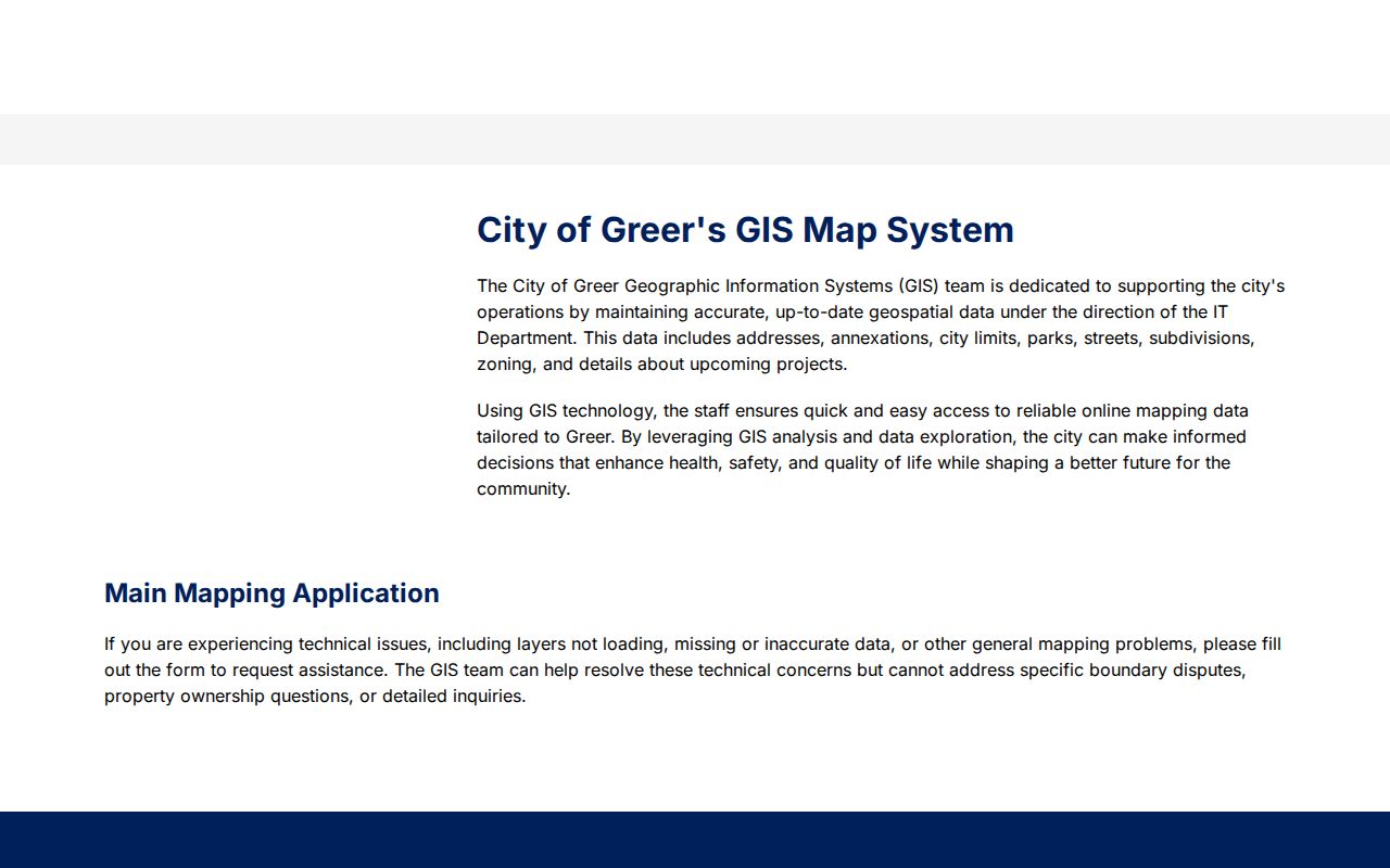
Once the map identifies the parcel county, stop using postal geography and move to the Greenville or Spartanburg property and deed route.
For a Greenville-side parcel, the real-property form accepts a tax year and one of these main paths: surname-first owner name, street, map number, subdivision, or sales-sheet number. For a Spartanburg-side parcel, the documented OneMap routes include Parcel Number, Street Name, Address, Subdivision Name, or owner last name. Neither verified tool offers a ZIP-wide resident return. The difference matters when an address with a Greer ZIP sits near the county line.
When a City GIS address point and a county street label conflict, the City Planning route directs E911 address verification to the county that handles the address. Include the physical address, county assumption, PIN or map number if known, subdivision or lot, and a record reference that shows the mismatch. That is more useful than guessing from a postal abbreviation.
Greer ZIP Searches Use Current Maps
Greenville County GIS is transitioning readers to a newer Greenville County Maps application while keeping the prior Advanced Internet Mapping System available during the transition. Use the current landing page and follow its property and Register of Deeds links instead of relying on a saved legacy-map workflow. The available layer display can change, so retain the search date and the parcel or map number used for a Greer ZIP check.
When the street number, postal label, and deed description do not line up, use the lot, subdivision, plat book/page, and county line rather than assuming a citywide address renumbering. No verified date for a citywide Greer renumbering was found. City GIS, the county address authority, and the recorded plat are the better routes for resolving a real mismatch.
Note: A ZIP narrows delivery geography, while the parcel county and legal description keep the Greer record trail accurate.