
Find a Greer Street Trail
Greer is split between Greenville and Spartanburg Counties, so a street name alone does not select the correct records office. First use the city or county map to identify the parcel and county. Then use that county's property system for a tax map number or PIN, owner field, mailing field, and deed reference. The recorded deed is the source for title. A directory or a permit record can then add a dated address clue. This street directory method keeps tax data, title records, and historical listings in their proper roles.
- Search the address, street, or PIN in City GIS and turn on the county-line and parcel layers. Record the parcel county, not just the Greer mailing label.
- Open the matching county property record. Keep its map number or PIN, parcel location, legal description, owner field, mailing address, and deed book or page reference.
- Use the county Register of Deeds to inspect the linked deed. The deed identifies the recorded transfer, while the property card supplies the assessment view.
- For a dated city record, search the exact address in eTRAKiT or ask the responsible city office for a specific existing record through FOIA.
- When the question is historical, compare an available green-pages directory entry with the deed chain and the correct county map. The Greer city directories are the collection route for those editions.
Each step narrows the address without turning one record into proof of a whole household. The county line remains important even on a single continuous Greer street.
Map a Greer Street First
The City of Greer GIS is the practical orientation layer. Its Atlas accepts a PIN, address, street name, subdivision, or annexation number. City Boundary, county line, parcels, addresses, streets, subdivisions, annexations, and zoning layers help distinguish a city address from the county system that keeps its property and deed records. The city describes the map as reference-only, so it cannot settle a boundary dispute or establish title.
The captured Greenville County GIS landing page shows the county's mapping gateway and its links to property and deed tools.
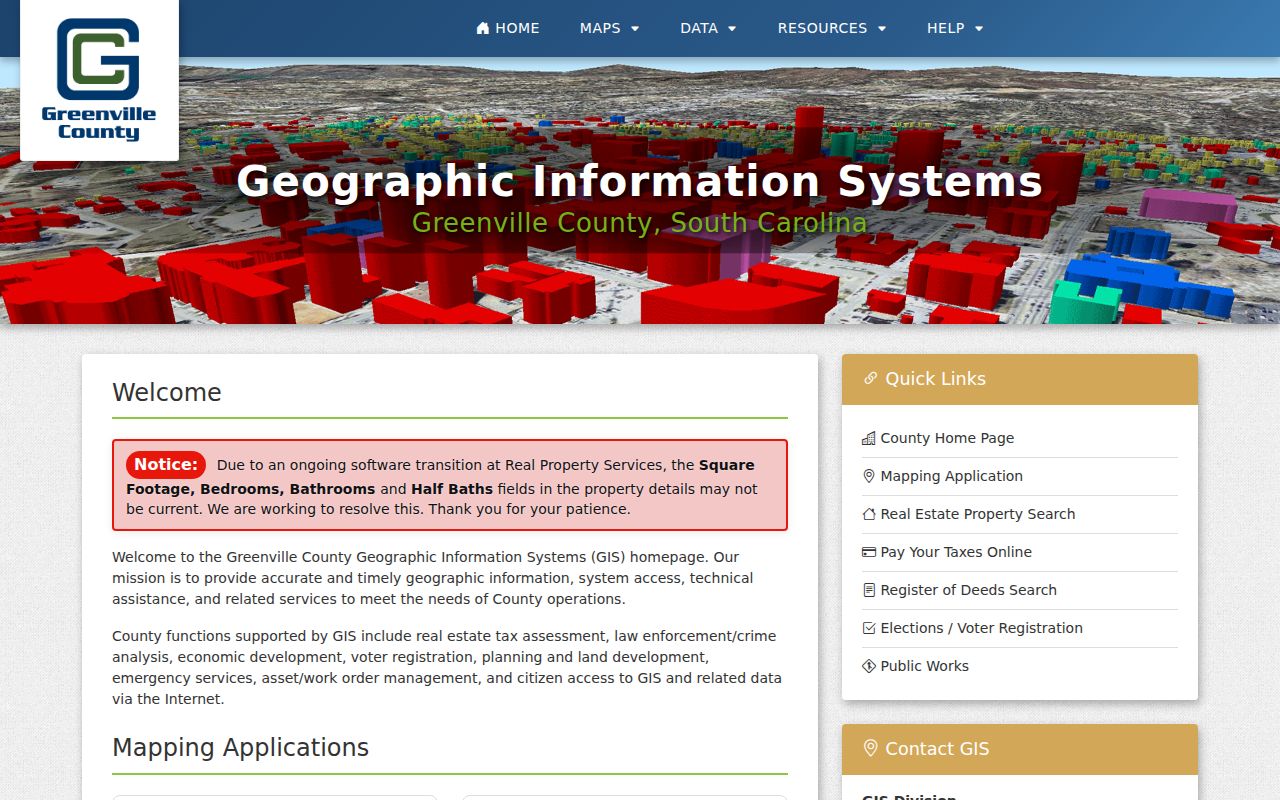
Greenville County is moving readers to Greenville County Maps while retaining the prior Advanced Internet Mapping System during the transition, so begin at the landing page and follow the current property or ROD link.
A street may be plainly inside Greer yet lead to either county. Use the city popup's county and city-limits values as routing clues, then confirm address data with the county record. If an E911 address conflicts with the parcel or deed, use the county's published 911-address contact rather than treating a map label as final.
Note: A Greer postal label helps identify a place, but the parcel county chooses the property, deed, probate, and elections route.
Search Greer Streets by Parcel
On the Greenville side, the Real Property Search is the strongest street directory starting point. The form lets a reader choose a tax year, then enter one main criterion at a time. A street query can find property cards along a street; map number and subdivision searches help when an address has changed form. Write down the tax year because a prior-year card may describe an earlier tax position. The portal is a property route, not a public count of every person at an address.
| Greenville property field | Input | Use for a street trail |
|---|---|---|
| Select Tax Year | Required menu | Choose the assessed year before reading a card. |
| Enter Street | One text criterion | Search a street such as the form's “Main St” example. |
| Enter Map No. | One text criterion | Open a known parcel after mapping it. |
| Enter Subdivision | One text criterion | Connect a street address with a plat or lot context. |
| Voided Property Cards | Separate map-number form | Check an older or voided card by its map number. |
The search permits only one main text query at a time. That small rule is useful: start with the street, record the PIN, and switch tools instead of mixing name, street, and map-number terms. A parcel report separates owner name, care-of and mailing fields from the parcel location, subdivision, deed book/page, and ownership-history row.
- Parcel or PIN
- A county's identifying number for a mapped tract. It ties the map, tax card, and deed reference together.
- Situs address
- The physical parcel location. It is different from the address where the assessor sends correspondence.
- Plat
- A recorded map of lots, blocks, streets, or subdivisions. The book and page can stabilize an older address search.
- Criss-cross directory
- A directory arranged by address or street number rather than surname, useful only for the editions that exist.
Greer Street Records in Spartanburg
For the Spartanburg side, use the county's Assessor Property Records Search gateway, accept its disclaimer, and follow its QPublic link. The county says assessment information is based on the December 31 tax-control date and can lag a deed or plat for months. It is refreshed with prior-day processed assessment data, but the county is clear that the deed, not the tax record, is the official ownership record.
The successful Spartanburg assessor gateway capture preserves that county-specific caution before a property search begins.
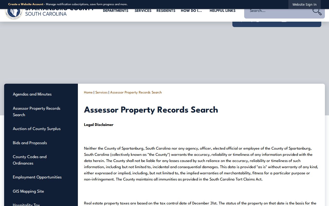
That warning makes a recorded deed especially important when a recent transfer appears uncertain on a tax card.
For map work, Spartanburg GIS directs users to OneMap. Its documented Detailed Mapping search accepts a parcel number, street name, address, or subdivision name. The Find a Parcel route takes a Parcel ID or owner last name, while the road tool has tabs for roads, subdivisions, addresses, and address ranges. These are address and parcel paths, not a general street roster.
The Spartanburg GIS entry page is shown below as the county route to mapping tools.
Use the selected parcel's county, subdivision, and legal-description clues before moving to a deed index.
Follow Greer Streets Into Deeds
An address gets a search started, but a legal description carries the title trail. From the property card or map popup, capture the PIN or map number, lot, subdivision, plat reference, deed book/page, and parcel location. Open the current deed in the appropriate county Register of Deeds. The buyer is the grantee and the seller is the grantor. Search the seller as grantee with the same lot, subdivision, or legal-description context to locate the prior transfer.
Greenville County ROD offers a pre-1985 branch for index books, deeds, land grants, and some mortgages, plus a post-1985/all-plats branch. Its grantor and grantee indexes and deed images reach back to 1787. For records before 1990, its guidance says to search by book type rather than rely on modern subcategories. Greenville has historic microfilm at Hughes Main South Carolina Room and county offices when an online result needs a different access channel.
On the other county side, Spartanburg's ROD search has Name, Book/Page, Instrument Number, Instrument Types, Old Index Books, and Temp Index modes. Its free-copy statement covers deeds from 1970, while old deed and index-book ranges provide older routes. If a needed document is not online, identify its book/page and use the counter, phone, or a specific mail request. The office does not perform a title search for the requester.
Record-depth check. Greenville documents grantor/grantee indexes and deed images to 1787; Spartanburg's usual online-copy range begins later, though its old-index routes extend the research path.
Use Greer Permit Records
City of Greer eTRAKiT is a separate address-linked municipal channel. Its public Permit Search offers PERMIT #, ADDRESS, and PERMIT TYPE, with Begins With, Contains, Equals, At Least, and At Most operators. Enter the normalized number, optional suite or lot, directional, street name, and abbreviated suffix. If that fails, the city instructions allow a street-name-only fallback. A detail can show Permit Info, Site Info, Contacts, Fees, Inspections, Chronology, Conditions, and Reviews.
The public eTRAKiT permit search shows the exact address and permit search choices.
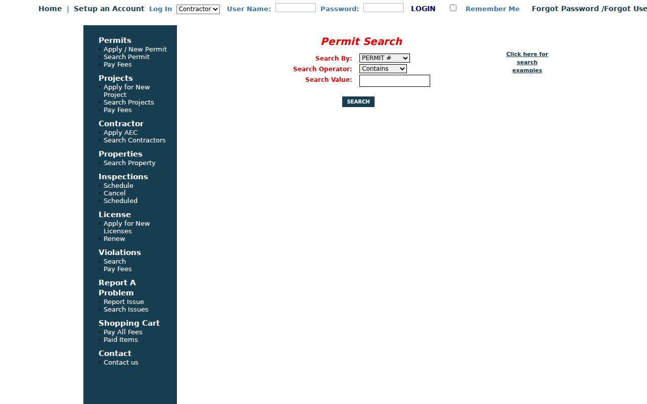
Site Info anchors the address, and Chronology or Inspections can supply dated administrative activity. Permit contacts may be an owner, contractor, or agent, so they are not proof of who lived there. Violation cases use different access controls; for a city-held existing record not displayed online, send a focused request through the City of Greer FOIA channel with the address, record type, date range, and any permit or case number.
Note: An empty permit search can reflect formatting, age, or city-portal scope, so it should not be treated as proof of no work.
Historic Greer Street Listings
For a past street picture, the 1963 Greer directory has green pages arranged in numerical street order with householder names and an ownership indicator. The holdings do not form a seamless yearly run. Greenville County Library catalogs Greer city directories for 1915-16, 1949, 1963 with a supplement, 1976, and annual editions from 1983 through 1997, alongside selected Hill and later Greer-Taylors Polk editions. Search an available edition by its own street spelling and abbreviations, then compare its date with the title chain.
A directory entry can be a householder, a listing choice, or a business address. It is useful evidence at a point in time, but it does not establish current occupancy or title. The street directory remains focused on the address trail, while the historical collection details stay with the linked city-directory resource.
Note: A historical street listing needs its edition year, page, spelling, and geographic scope before it can support an address comparison.
Greer Street Directory Records
Address-keyed sources answer different questions. Combine them only after recording the county and parcel identifiers. A street directory search can show a tax-record owner, map location, recorded transfer, a dated city permit, or a historical listing. It cannot convert those separate entries into a complete present-day household list.
| Address record | Greer custodian route | Useful result | Access channel |
|---|---|---|---|
| Property or tax card | Greenville Real Property or Spartanburg Assessor | PIN/map number, owner, mailing and situs fields | County portal; assessor contact |
| Parcel map | City GIS, Greenville GIS, or Spartanburg OneMap | County, parcel, street, subdivision, city-limit context | Reference map and county GIS |
| Recorded deed or plat | Correct county ROD | Grantor, grantee, legal description, book/page | Online index, counter, phone, mail, or copy path |
| Municipal permit | City eTRAKiT or Planning/FOIA | Site, permit, inspection, chronology context | Public search or specific written request |
| Historical street entry | Hughes Main archive or Greer Heritage Museum | Dated householder and street-order listing | Catalog, archive, museum, or library assistance |
The statewide voter login is not a street-browse tool. MyscVOTES requires a county, name, date of birth, last four Social Security digits, and a CAPTCHA for an authenticated individual workflow. The state also sells formal voter-list products under its own eligibility, filters, prices, use restrictions, and protected-address rules. Neither channel creates a public live list for a Greer street.
Limits of Greer Street Searches
A Greer street directory cannot identify every unrecorded occupant, family member, utility customer, or protected resident. A property card's mailing field may belong to an owner, trust, agent, or another correspondence destination. A deed can establish a recorded transfer without proving present occupancy. DMV address data is constrained by federal law, and voter information has credentials, confidentiality protections, and statutory use limits.
South Carolina's Safe at Home program and the voter-address protection in S.C. Code §7-5-321 mean protected information must not be reconstructed from ordinary sources. When an address appears inconsistent, request an official correction or record clarification from the custodian. Do not combine parcel, directory, or court fragments to defeat an address-protection measure.
Lawful use. Greer street records are for personal, family-history, estate, civic, and consumer-safety research. Never use an address trail to stalk, harass, threaten, or harm anyone.